Service description
Kayan Earth provides advanced geophysical services to investigate subsurface conditions without extensive excavation works. Geophysical studies play a critical role in infrastructure, utility, mining, groundwater, geotechnical, and subsurface risk assessment projects.
These services help identify underground utilities, cavities, weak zones, geological variations, bedrock levels, groundwater zones, and other subsurface features.
1. Ground Penetrating Radar (GPR)
Ground Penetrating Radar (GPR) is one of the most important subsurface investigation techniques. It operates by transmitting electromagnetic waves and recording reflected signals from underground objects and subsurface variations.
GPR is widely used in infrastructure and urban projects, especially for locating underground utilities before excavation and construction activities.
Ground Penetrating Radar Applications
Utility Detection
- Water pipelines detection
- Electrical cable detection
- Telecommunication and fiber optic cable detection
- Sewer line detection
- Gas pipeline detection
- Accurate utility depth and route mapping
Geotechnical and Engineering Investigations
- Asphalt and pavement thickness measurement
- Road and airport evaluation
- Detection of voids beneath roads and floors
- Detection of ground settlement zones
- Identification of shallow layer boundaries
- Identification of near-surface weathered zones
Cavity and Void Detection
- Natural cave detection
- Karst void identification
- Detection of voids beneath foundations
- Buried tunnel detection
Concrete and Structural Assessment
- Rebar location
- Concrete cover thickness measurement
- Detection of honeycombing and internal voids
- Post-tension cable identification
- Bridge and concrete structure assessment
Archaeological Applications
- Detection of buried structures and walls
- Discovery of archaeological tombs and remains
- Identification of archaeological sites without excavation
Environmental Applications
- Landfill identification
- Detection of buried tanks
- Identification of shallow contamination zones
Geological Applications
- Identification of shallow geological structures
- Detection of near-surface fractures and joints
- Study of recent sediments
- Groundwater table estimation in suitable environments
GPR Advantages
- Very fast execution
- Non-destructive
- High accuracy for shallow targets
- Provides near-continuous profiles
GPR Limitations
- Performance is significantly reduced in clay soils
- Performance is reduced in saline water saturated soils
- Performance is reduced in highly conductive environments
Best Performance Conditions
- Dry sand
- Limestone formations
- Asphalt and concrete surfaces
Equipment Used
Kayan Earth uses advanced GPR equipment to support accurate subsurface investigation and reliable field results.
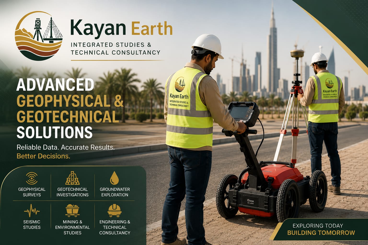
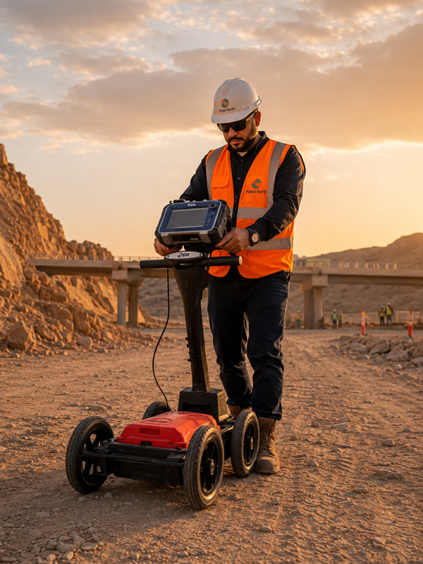
Equipment Used:
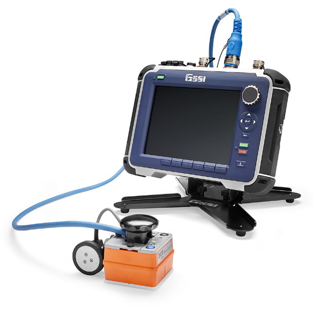
GSSI SIR-4000
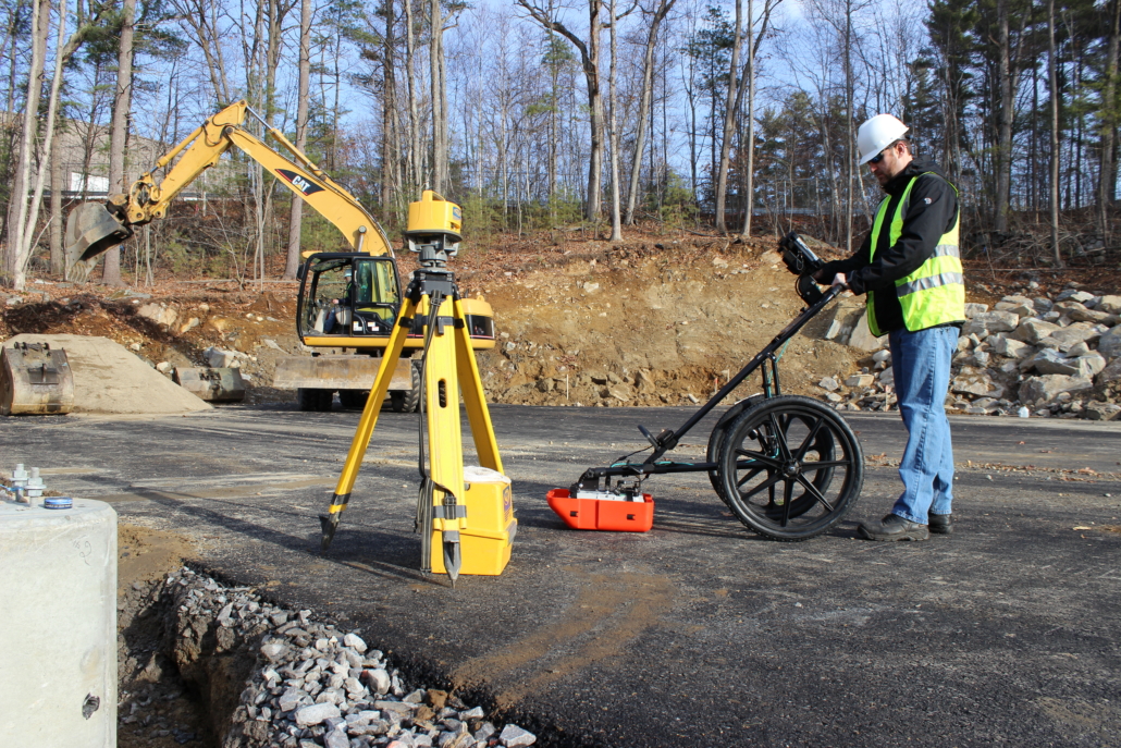
350 MHz HS Antenna
2. Geoelectrical Surveys
Geoelectrical methods include Electrical Resistivity, Induced Polarization (IP), and Self Potential (SP). These methods are used to study electrical property variations within the subsurface.Geoelectrical surveys are essential for groundwater exploration, geological investigations, void detection, geotechnical studies, environmental assessment, and mineral exploration.Electrical Resistivity Applications
Geotechnical & Engineering Applications
- Soil and rock layer thickness determination
- Bedrock depth identification
- Detection of weathered zones, fractures, and faults
- Detection of cavities and karst features
- Dam, road, airport, and infrastructure investigations
Groundwater Applications
- Aquifer identification
- Groundwater table determination
- Freshwater and saline water differentiation
- Groundwater recharge zone identification
Environmental Applications
- Contamination assessment
- Landfill investigations
- Contamination plume mapping
Mining & Exploration Applications
- Mineralized zone identification
- Exploration of ores with significant resistivity contrasts
Electrical Resistivity Survey Techniques
Vertical Electrical Sounding (VES) – 1D
- Vertical resistivity variation analysis
- Layer thickness estimation
- Groundwater and bedrock depth determination
Electrical Profiling
- Lateral electrical variation mapping
- Fault and fracture tracking
- Geological target delineation
2D Electrical Resistivity Tomography (ERT)
- Two-dimensional resistivity imaging
- Vertical and horizontal layer mapping
- Detection of cavities, faults, karst, and saturated zones
3D Electrical Resistivity Tomography (ERT)
- Three-dimensional resistivity models
- Characterization of complex geological targets
- Advanced mining, geotechnical, and environmental applications
Self Potential (SP)
Self Potential (SP) measures natural electrical potential differences without injecting electrical current.Groundwater
- Groundwater flow path identification
- Dam and reservoir leakage detection
- Recharge and discharge zone identification
Mining
- Sulfide ore body detection
- Oxidation and supergene enrichment zone identification
Environmental Studies
- Leachate migration detection
- Subsurface fluid movement monitoring
Induced Polarization (IP)
Induced Polarization (IP) measures the ability of soils and rocks to store electrical charges after the current is interrupted.Mineral Exploration
- Sulfide-associated gold
- Copper
- Lead
- Zinc
- Nickel
Geological Studies
- Differentiation between clay and mineralized zones
- Hydrothermal alteration mapping
Environmental Studies
- Metal contamination assessment
- Clay material characterization
IP Survey Techniques
- IP Profiling
- IP Sounding
- 2D Res/IP Imaging
- 3D Res/IP Imaging
Parameters Measured
- Chargeability (mV/V)
- Resistivity (Ohm.m)
Equipment Used
Kayan Earth uses advanced geoelectrical survey equipment to support accurate subsurface imaging, groundwater studies, environmental assessment, and exploration projects.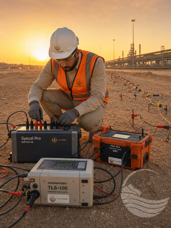
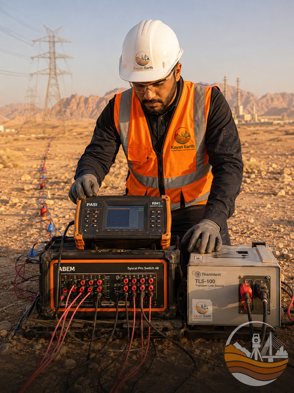
Equipment Used:
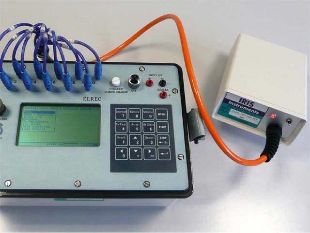
Syscal Pro Switch 48
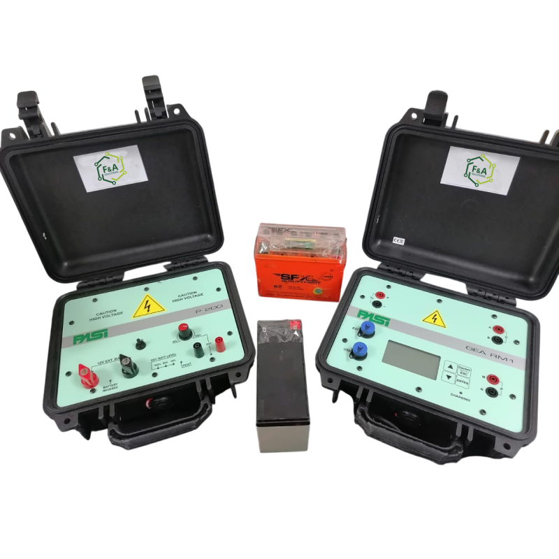
PASI GEA Resistivity Meter RM1
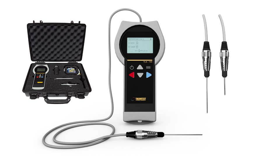
Thermtest Transient Line Source TLS-100
3. Seismic Surveys
Seismic surveys are among the most important geotechnical investigation methods used to evaluate subsurface conditions, soil and rock properties, bedrock depth, and seismic site response.
These surveys are divided into three main techniques: Seismic Refraction, MASW, and Downhole Seismic Testing. Each technique provides valuable data for engineering design, infrastructure projects, and seismic risk assessment.
Main Seismic Survey Techniques
Seismic Refraction
- Bedrock depth determination
- Soil and weathered layer thickness estimation
- Identification of weak zones, fractures, and faults
- Groundwater level estimation
- Rock quality assessment using P-wave velocities (Vp)
- Deep foundation, dam, road, and tunnel design
- Quarry and raw material exploration
MASW
- Seismic site classification
- Vs30 calculation
- Earthquake hazard assessment
- Soil stiffness profiling
- Seismic bedrock determination
- Liquefaction potential assessment
- Design of vibration-sensitive structures
Downhole Seismic Testing
- Accurate Vs and Vp measurements
- Calibration of MASW and Seismic Refraction results
- Dynamic soil and rock property evaluation
- Seismic studies for high-rise buildings, dams, and power plants
- Seismic site classification according to engineering codes
Downhole Seismic Testing Parameters
Downhole Seismic Testing provides accurate dynamic soil and rock parameters required for advanced engineering and seismic design studies.
Measured Velocities
- Shear wave velocity (Vs)
- Compression wave velocity (Vp)
Calculated Parameters
- Shear Modulus (G)
- Young’s Modulus (E)
- Poisson’s Ratio (ν)
Engineering Benefits
Foundation & Infrastructure Design
- Supports deep foundation design
- Assists in dam, road, and tunnel projects
- Helps identify bedrock depth and weak zones
Seismic Risk Assessment
- Supports seismic site classification
- Assists in earthquake hazard assessment
- Helps evaluate liquefaction potential
Rock & Soil Characterization
- Evaluates dynamic soil properties
- Assesses rock quality using seismic velocities
- Identifies fractures, faults, and weathered zones
Equipment Used
Kayan Earth uses advanced seismic survey equipment to support accurate geotechnical investigation, seismic site classification, and subsurface characterization.
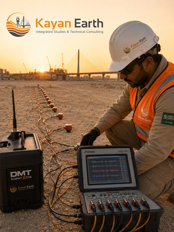
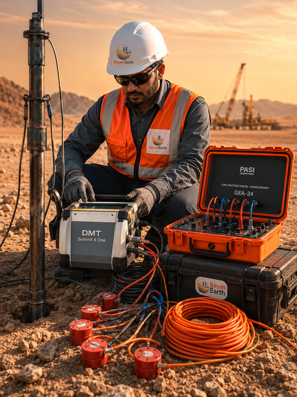
Equipment Used:
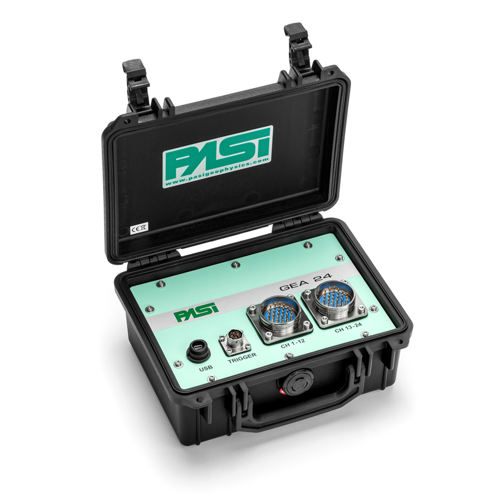
PASI Exploration Digital Seismograph GEA-24 (24/48 Channels)