Hydrological Study Services
Hydrological Study Services
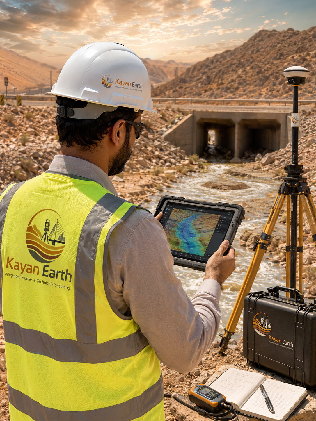
Kayan Earth provides hydrological studies to support projects related to surface water, stormwater drainage, flood hazards, groundwater resources, and infrastructure development.
These studies help understand site water movement, flow patterns, rainfall impacts, drainage requirements, and flood risks, particularly for roads, bridges, industrial zones, mining projects, and urban developments.
Service Scope
Hydrological Assessment
- Hydrological site assessment
- Rainfall and watershed analysis
- Surface runoff assessment
- Flood and flash flood risk studies
- Wadi and drainage channel studies
- Water flow analysis
Project Support
- Stormwater drainage network design support
- Groundwater potential assessment
- Dewatering studies support
- Permeability and seepage assessment
- Hydrological data interpretation
- Technical recommendations for protection and drainage works
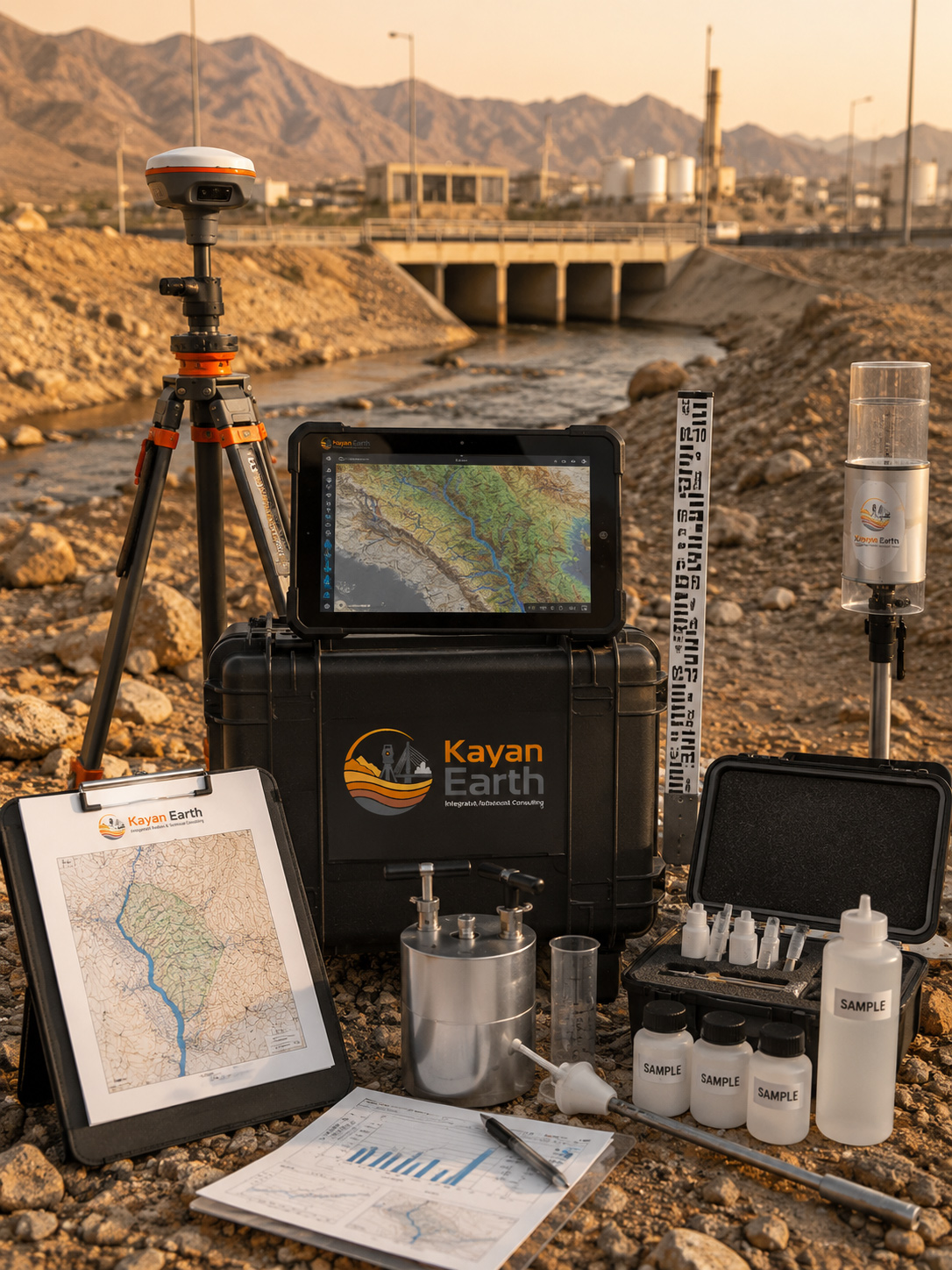
Technical Support Resources
Topographic survey data
Digital Elevation Models (DEM)
Geological and geomorphological maps
Geophysical investigation results
Soil permeability tests
Site visits and field observations
Historical rainfall and drainage records
Geographic Information Systems (GIS) analysis