
Topographic & Land Surveying Services
Topographic & Land Surveying Services
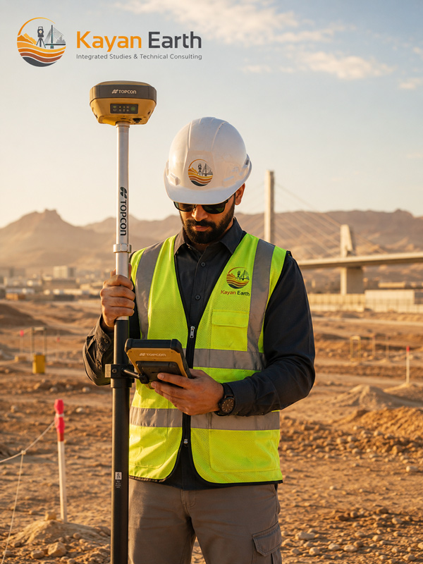
Kayan Earth provides high-precision topographic and land surveying services to support planning, design, construction, infrastructure, mining, and land development projects.
Surveying activities help determine elevations, boundaries, site topography, existing features, and quantity calculations, contributing to accurate and efficient project execution.
Service Scope
Surveying Works
- Land and site surveys
- Establishment of survey control points
- Contour map preparation
- Digital Terrain Models (DTM)
- Cross-sections and longitudinal profiles
- Road and infrastructure surveys
Project Support
- Utility corridor surveys
- As-Built surveys
- Quantity and volume calculations
- Site setting-out works
- Data processing and drawing preparation
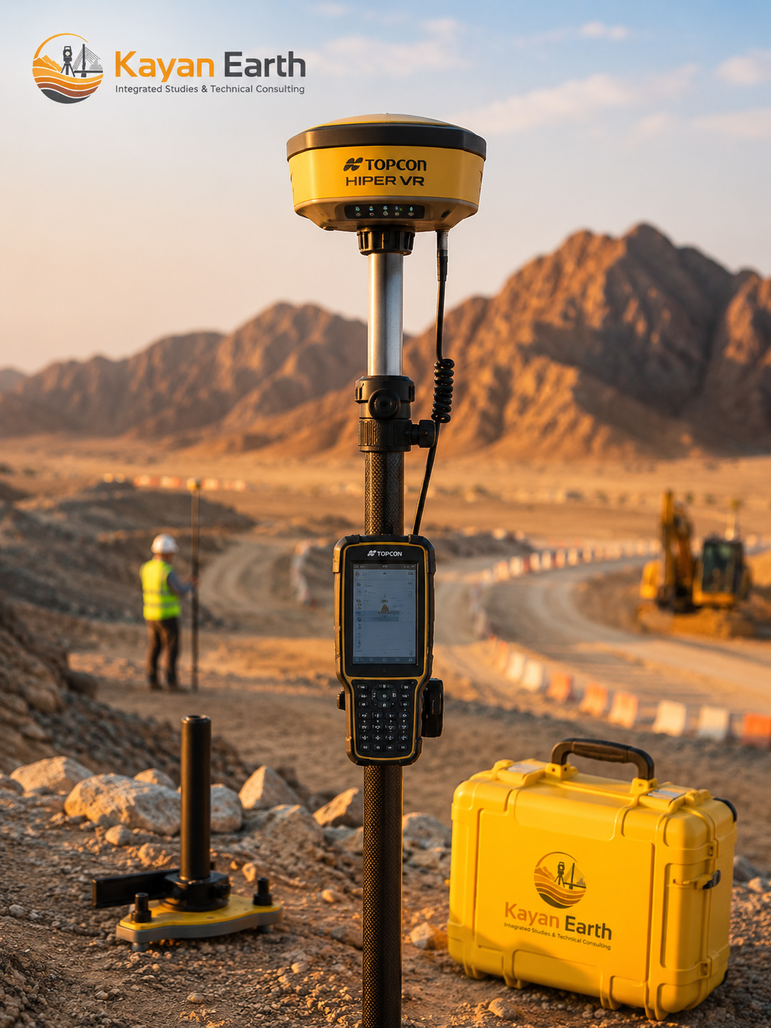
Equipment Used
Topcon Hiper VR GNSS